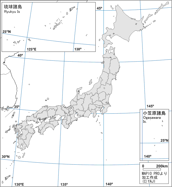
| YAJIが撮った地誌的な写真をご紹介します。 写真の説明のうち,文献を参考にしたものは文献名を提示しました。 内容や英語に深刻な間違いがあれば是非ともご指摘下さいますよう。 If you find serious misstakes in contents or English expressions, please tell me it/them, thank you. |
|
 o o |
|
| 1 出雲平野 Izumo Plain | |
| 2 弓ヶ浜半島・境港 Yumigahama Peninsula and Port of Sakaiminato | |
| 3 高知平野 Kochi Plain | |
| 4 四国山地 Shikoku Mountain Range | |
| 5 串本陸繋砂州 Bar of Tomboro in Kushimoto Town | |
| 6 金谷峠,牧ノ原台地,大井川 Kanaya Pass, Makinohara Plateau and Ooi River |
|
| 7 蒲原町 Kanbara Town | |
| 8 沖縄本島 Okinawa I. | |
| 9 京阪神大都市圏 Keihanshin Major Metropolitan Area | |
| 10. 郡上八幡 Gujo-hachiman | |
| 11. 青森駅での青函連絡船 Seikan Ferry, Aomori stn. | |
| 12. 九州島 Kyusyu I. | |
| 13. 苫小牧東部国家石油備蓄基地 Tomakomai-tobu National Oil Storage Base. |
|
| 14. 但馬地方 The Tajima Region | |
| 15. 安芸津町 Akitsu Town. | |
| 16. 摩周湖 Lake Mashu Aug 28, 2005 | |
| 17. 知多半島 Chita Penninsula Aug 29, 2005 | |
なお,当該図幅への直接リンクが可能になりました。先々,各ページにリンクを設定していきます。 I like to show detailed maps to understand the locality well, but there are a lot of troubles to get pemmission of using maps of Gepgraphical Survey Institute of Japan (GSI). So, I make a link to Map Browsing Service of GSI. It's a heavy site, but, you can look all 1:25000 maps of Japan on this site. |
|