 MINOLTA α-507si, AF70-210mm F3.5-4.5, Fuji RHPIII |
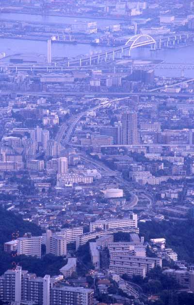
住吉川は六甲山地から瀬戸内海へ流れ出る川の一つである。1938(昭和13)年に大水害を起こしたことでも知られている。流域の最高地点と河口との標高差は940mで,直線距離はわずか3.9kmである。 Sumiyoshi River is one of rivers which are ran off from Rokko Mts. to Setonaikai Sea. It is known that it had a serious flood in 1938. The elevation is 940m between higest point and river mouth, and straight distance is only 3.9km. |